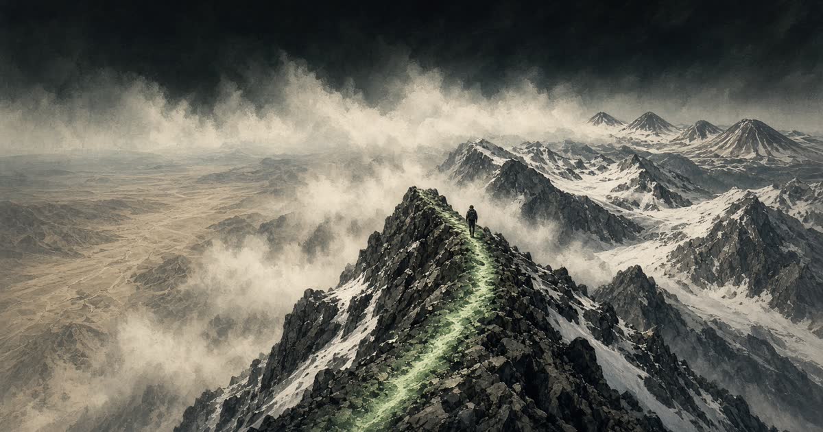
Trail · Completed 1993
Pacific Crest Trail
Campo to Manning Park
Desert, High Sierra, volcanoes, and the crest of the West from Mexico to Canada.
0%
0 mi of 2,650 mi
Chronicler
Still at Campo
The road to Warner Springs is 110 miles. A monument on the Mexican border. The desert is immediately itself.
The road
Campo
0 mi
A monument on the Mexican border. The desert is immediately itself.
Warner Springs
110 mi
The first real rest. Barrel cactus and wind turbines behind you.
Kennedy Meadows South
703 mi
The Sierra begins. Bear cans, snow, and a different trail.
Forester Pass
780 mi
13,200 ft. The highest point on the PCT.
Tuolumne Meadows
940 mi
Yosemite's high country. Granite, rivers, and resupply.
Sierra City
1,197 mi
Northern Sierra. The snow is usually gone. The heat is not.
Ashland
1,718 mi
Oregon. Volcanoes replace granite. The trail grows kinder, then does not.
Cascade Locks
2,144 mi
The Bridge of the Gods. Washington waits across the Columbia.
Stevens Pass
2,470 mi
The North Cascades close in. Canada is a weather report away.
Manning Park
2,650 mi
The northern terminus. A monument in British Columbia, and no more south.
PCT Association, ~2,650 miles