History · 1840s–1860s
The Oregon Trail
Independence to Oregon City
Wagons and walking: the Platte, South Pass, and a last river into the Willamette.
0%
0 mi of 2,170 mi
Chronicler
Still at Independence, Missouri
The road to Fort Kearny is 318 miles. Outfitting town. The jumping-off place of a generation.
The road
Independence, Missouri
0 mi
Outfitting town. The jumping-off place of a generation.
Fort Kearny
318 mi
The Platte River road. A thousand wagons in a season.
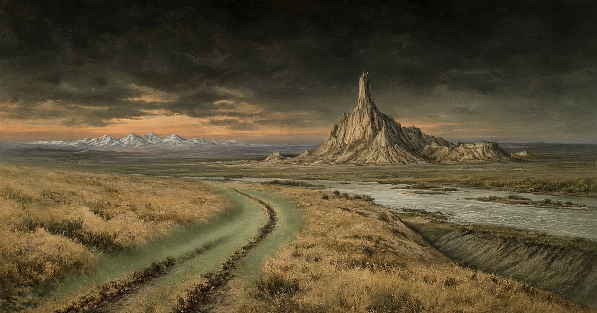
Chimney Rock
570 mi
The landmark every diary mentions. The West becomes visible.
Fort Laramie
650 mi
Trade, rest, and the last sure supply before the mountains.
Independence Rock
815 mi
Names carved in granite. Arrive by July 4 or lose the snow-free pass.
South Pass
914 mi
The gentle continental divide. Oregon is a rumor with a road.
Fort Bridger
1,070 mi
Jim Bridger's post. Cutoffs begin to argue.
Fort Hall
1,288 mi
Snake River country. The trail turns toward the Columbia.
Three Island Crossing
1,436 mi
A dangerous ford of the Snake. Many waited for low water.
Whitman Mission
1,741 mi
Waiilatpu. The Columbia plateau, then the last mountains.
The Dalles
1,930 mi
End of the wagon road for many. Rafts, or the Barlow Road.
Oregon City
2,170 mi
The Willamette. Land claims, rain, and the end of the trail.
National Park Service historic route, ~2,170 miles