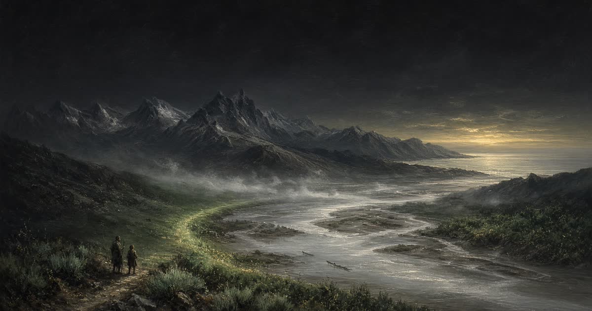
History · 1804–1805
Lewis and Clark
Camp Dubois to the Pacific
The Corps of Discovery up the Missouri, over the Divide, and down the Columbia to the sea.
0%
0 mi of 3,700 mi
Chronicler
Still at Camp Dubois
The road to Council Bluff is 640 miles. Winter 1803 on the Illinois side. The Missouri is still a rumor of width.
The road
Camp Dubois
0 mi
Winter 1803 on the Illinois side. The Missouri is still a rumor of width.
Council Bluff
640 mi
Otoe and Missouria. The first of many councils.
Fort Mandan
1,600 mi
A winter with the Mandan and Hidatsa. Sacagawea joins the party.
Great Falls
2,300 mi
Five falls, eighteen miles of portage, and a month of labour.
Lemhi Pass
2,900 mi
The Continental Divide. The Columbia waters begin.
Lolo Pass
3,100 mi
The Bitterroots. The hardest country of the outbound journey.
Columbia confluence
3,400 mi
Snake into Columbia. Canoes, and a river that knows the tide.
Fort Clatsop
3,700 mi
The Pacific. Salt-making, wet winter, and the long way home still unwalked.
Journals of the Corps of Discovery, ~3,700 miles outbound