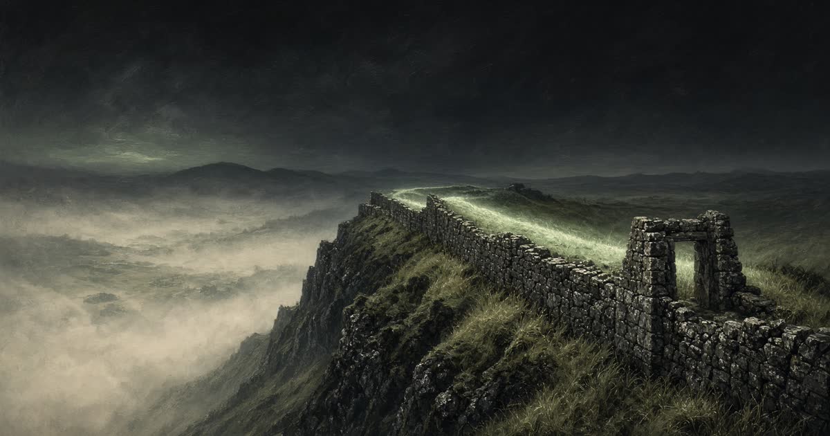
History · AD 122
Hadrian's Wall Path
Wallsend to Bowness-on-Solway
The northern edge of Rome in Britain: milecastles, forts, and a wall that once divided a world.
0%
0 mi of 84 mi
Chronicler
Still at Wallsend
The road to Heddon-on-the-Wall is 15 miles. Segedunum. The eastern end of the wall, on the Tyne.
The road
Wallsend
0 mi
Segedunum. The eastern end of the wall, on the Tyne.
Heddon-on-the-Wall
15 mi
The first long stretch of standing curtain appears in the fields.
Chesters
28 mi
Cilurnum, the cavalry fort in the North Tyne valley.
Housesteads
36 mi
Vercovicium on the crag. The most complete Roman fort in Britain.
Once Brewed
41 mi
Steel Rigg and the Sycamore Gap country. Whin Sill underfoot.
Birdoswald
52 mi
Banna. Turf wall gives way again to stone above the Irthing.
Carlisle
71 mi
Luguvalium. The western town that served the wall for centuries.
Bowness-on-Solway
84 mi
Maia, the last fort. The Solway Firth, and the end of Rome's line.
National Trails, England, 84 miles